South Delhi’s Madangir carries a somewhat unusual distinction — it’s home to one of the city’s larger DDA resettlement colonies, developed decades ago to house families relocated from central Delhi’s slum clearance drives. That planned resettlement history sets Madangir apart from the typical unauthorised urban village pattern seen elsewhere in South Delhi, giving the area a more organised layout even as it retains the working-class character common to Delhi’s resettlement colonies.

Madangir Village Overview
| Detail | Information |
| Location | South Delhi, near Pushp Vihar and Saket |
| District | South Delhi |
| Nearest Metro Station | Saket / Malviya Nagar (Yellow Line) |
| Distance from Saket Metro | Approx. 3–4 km |
| Distance from Connaught Place | Approx. 16–18 km |
| Distance from Chattarpur | Approx. 6–8 km |
| Known For | DDA resettlement colony, budget housing, planned layout |
| Notable Feature | One of South Delhi’s larger organised resettlement colonies |
| Nearby Localities | Saket, Pushp Vihar, Chattarpur, Khanpur |
| Best For | Budget renters, resettlement families, first-time buyers |
Madangir’s Origins as a Planned Resettlement Colony
Madangir was developed by the Delhi Development Authority as a resettlement colony, part of a broader wave of such colonies established across Delhi to rehabilitate families displaced during central Delhi’s slum clearance efforts several decades ago. That planned origin gives Madangir a grid-like layout distinct from the organically grown, narrow-laned character of Delhi’s typical urban villages.
- The colony’s numbered block system, common to DDA resettlement layouts, makes navigation within Madangir considerably more straightforward than in unplanned urban villages nearby.
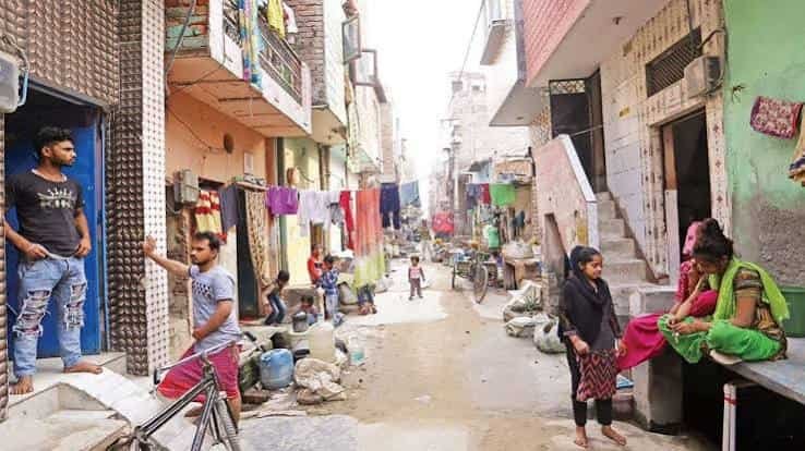
- Housing here consists primarily of small, low-rise units originally allotted to resettled families, many of which have since been expanded, rebuilt, or converted into rental properties over the decades.
- Its location places Madangir within reach of some of South Delhi’s more established commercial and residential neighbourhoods, including Saket and Pushp Vihar, despite the colony’s own more modest housing stock.
Getting To and Around Madangir
Madangir’s connectivity benefits from its proximity to Saket, one of South Delhi’s key commercial and transit hubs, giving residents reasonably convenient access to the Yellow Line metro corridor.
By Metro
- Saket and Malviya Nagar stations on the Yellow Line, both within a few kilometres, connect Madangir residents to Central Delhi, Gurugram, and Chattarpur without requiring interchange for many common routes.
- Autos and e-rickshaws typically cover the stretch between these stations and Madangir’s residential blocks.
By Road
- Press Enclave Road and connecting roads through Saket provide the main vehicular routes linking Madangir to South Delhi’s core commercial areas.
- Internal roads within the colony follow a grid pattern, generally easier to navigate than the narrow lanes typical of Delhi’s unplanned urban villages.
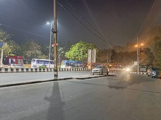
- Traffic near the Saket-Press Enclave junction can build up during office hours, given the area’s proximity to Saket’s commercial and mall district.
By Bus
- DTC buses connecting Saket, Chattarpur, and Khanpur routes serve Madangir reasonably well, offering an affordable commuting option for residents without private vehicles.
What’s Nearby: Markets, Healthcare, and Schools
Madangir’s own local market covers routine daily needs, though residents commonly travel to Saket for a considerably wider range of retail, healthcare, and entertainment options.
Local Markets
- Madangir’s internal market blocks offer groceries, clothing, and everyday household items, serving the colony’s resettled population directly.
- Saket’s commercial district, including Select Citywalk and other malls, is a short drive away, providing a significantly broader shopping and dining experience.
Healthcare Facilities
- Government dispensaries and small private clinics operate within Madangir for routine care, while Max Hospital Saket and other South Delhi facilities are within a 15–20 minute drive for advanced treatment.
Educational Institutions
- A number of government schools serve the local population directly, given the colony’s resettlement origins, with families often turning to Saket or Malviya Nagar for more established senior secondary options.
Why Madangir Remains a Practical South Delhi Address
Madangir’s continued relevance comes down to its combination of planned layout and affordability, two qualities that set it apart from South Delhi’s typical unauthorised village-belt housing.
- Property and rental costs here remain considerably lower than in nearby Saket or Malviya Nagar, despite the colony’s genuinely convenient South Delhi location.
- Its planned, grid-based layout makes daily navigation and civic service delivery somewhat easier than in Delhi’s more organically developed urban villages.
- Proximity to Saket’s Yellow Line metro and commercial hub keeps Madangir residents well-connected without requiring premium locality pricing.
Frequently Asked Questions
Q1. Is Madangir a resettlement colony or an urban village?
It’s a DDA-developed resettlement colony, distinct from Delhi’s typical urban villages, with a more organised, grid-based layout.
Q2. How far is Madangir from Saket Metro Station?
Roughly 3–4 km, usually a short auto or e-rickshaw ride from most parts of the colony.
Q3. Is Madangir a good option for affordable housing in South Delhi?
Yes, property and rental costs here are noticeably lower than in nearby Saket or Malviya Nagar, despite convenient access to both.
Q4. Are hospitals and schools easily accessible from Madangir?
Basic clinics and government schools operate locally, while more advanced facilities like Max Hospital are a short drive away in Saket.