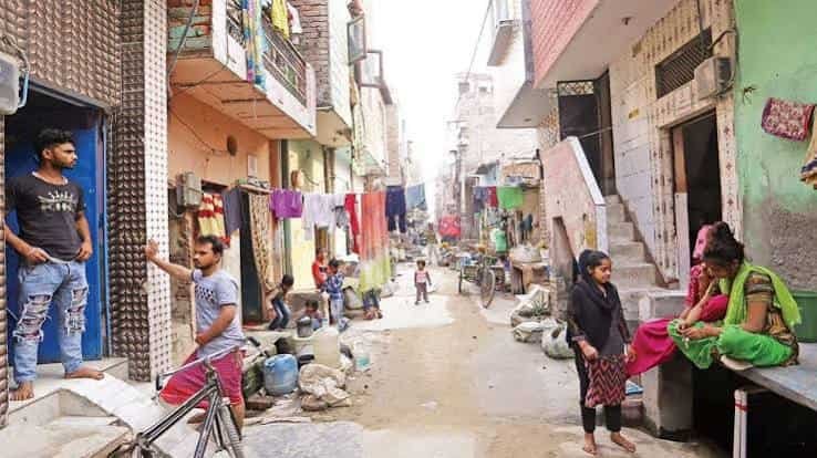
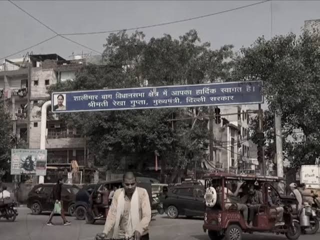
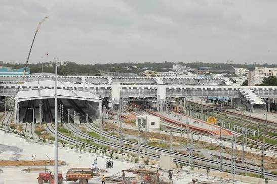
Sitting right on the Ranga Reddy-Mahbubnagar district border, roughly 36 km from Hyderabad, Kothur owes much of its steady growth to a single geographic fact — it’s close enough to Rajiv Gandhi International Airport and the Hyderabad-Bengaluru highway to have become a genuine logistics and residential-adjacent town, rather than remaining a purely agricultural settlement like many of its surrounding mandal villages.
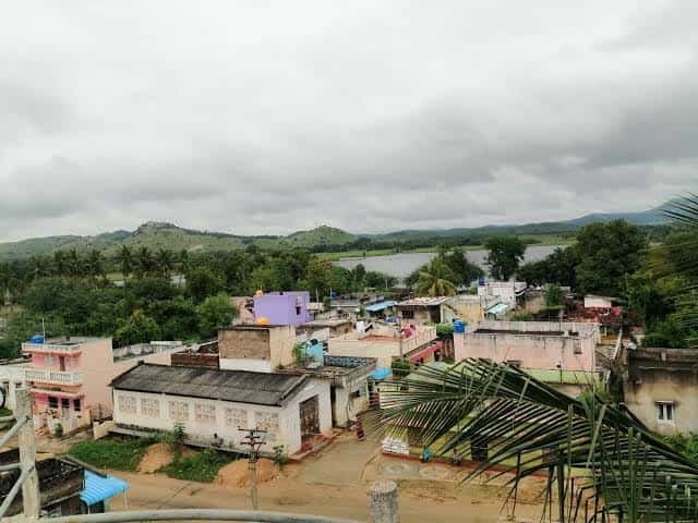
Kothur Village Overview
| Detail | Information |
| Location | Mahbubnagar/Ranga Reddy border, Telangana |
| District | Mahbubnagar (Kothur Mandal headquarters) |
| PIN Code | 509228 |
| Distance from Hyderabad | Approx. 36 km |
| Nearest Highway | NH 44 (Hyderabad-Bengaluru corridor) |
| Distance from Hyderabad International Airport | Short driving distance |
| Known For | Mandal headquarters, airport-highway proximity, agricultural surroundings |
| Total Population (Kothur Town) | 10,519 (2011 Census) |
| Nearby Localities | Shabad, Farooqnagar, Maheswaram, Shamshabad |
| Best For | Small traders, logistics workers, agricultural landowners |
Kothur’s Position on the Hyderabad-Bengaluru Corridor
Kothur functions as the headquarters of Kothur Mandal, a sub-division that was reorganised from Mahbubnagar District into administrative structures tied closely to Ranga Reddy district during Telangana’s broader district reorganisation. Its location right along the route connecting Hyderabad to Bengaluru via NH 44 has been central to shaping the town’s growth trajectory.
- Kothur sits close to Hyderabad’s Rajiv Gandhi International Airport, positioned along the Hyderabad-to-Bangalore highway corridor, giving it a practical edge over many other towns in the Mahbubnagar region.
- The town is bordered by Shabad Mandal to the west, Farooqnagar Mandal to the south, Maheswaram Mandal to the east, and Shamshabad Mandal to the north, placing it at a genuine administrative and geographic crossroads.
- As the mandal headquarters, Kothur oversees governance and revenue administration for 16 surrounding villages, giving it a functional importance beyond its own modest population.
Getting To and Around Kothur
Kothur’s connectivity centres almost entirely on its position along the Hyderabad-Bengaluru highway, making road transport the dominant mode for residents and visitors alike.
By Road
- NH 44 runs through the area, connecting Kothur directly to Hyderabad in one direction and onward toward Bengaluru and Karnataka in the other.
- Nearby towns including Farooqnagar and Shamshabad are readily accessible via local roads branching off the highway corridor.
- Given its highway-facing location, Kothur sees a steady flow of commercial and logistics traffic, alongside regular local and intercity travel.
By Air
- Rajiv Gandhi International Airport (Hyderabad), a relatively short drive away, gives Kothur genuine air travel access that few other towns this far from the city centre can match.
By Local Transport
- Buses and shared vehicles connect Kothur to Hyderabad, Farooqnagar, and Shadnagar, remaining the most common mode of transport for daily commuters and traders within the mandal.
What’s Around Kothur: Markets, Villages, and Facilities
As mandal headquarters, Kothur serves as the primary commercial and administrative hub for its surrounding rural belt, with 16 villages depending on the town for various civic services.
Local Markets and Trade
- Kothur’s own market area handles agricultural trade and daily commerce for the town and its surrounding villages, reflecting the region’s continued reliance on farming as a primary livelihood.
- The town’s position along a major highway has also encouraged some logistics and transport-linked commercial activity in recent years.
Surrounding Villages
- Kothur Mandal comprises 16 villages including Mallapur, Edulapalle, Gudur, Kodicherla, Mamidipalle, and others, each maintaining its own gram panchayat while relying on Kothur for higher-order administrative functions.
- The mandal’s total population stands at roughly 65,241 as per the 2011 Census, with the majority residing in rural parts of the surrounding villages rather than Kothur town itself.
Practical Facilities
- Basic healthcare and educational institutions serve Kothur town directly, while residents of surrounding villages typically travel to Kothur or further to Hyderabad for more specialised services.
Why Kothur Continues to Hold Regional Importance
Kothur’s relevance stems from a combination of its administrative role and its genuinely useful position along one of South India’s busiest highway corridors.
- Its proximity to Hyderabad’s international airport gives Kothur an accessibility advantage uncommon among towns this far from a major city centre.
- As mandal headquarters, it plays a central administrative role for a rural population spread across 16 surrounding villages.
- Continued highway-linked commercial activity suggests Kothur’s importance as a logistics and trade point is likely to keep growing alongside Hyderabad’s southward expansion.
Frequently Asked Questions
Q1. How far is Kothur from Hyderabad?
Approximately 36 km, with NH 44 providing a direct road connection to the city.
Q2. Is Kothur close to Hyderabad’s airport?
Yes, Rajiv Gandhi International Airport is a relatively short drive away, giving Kothur genuine air travel accessibility.
Q3. How many villages fall under Kothur Mandal?
Kothur Mandal comprises 16 villages, with Kothur town serving as the administrative headquarters for the entire mandal.
Q4. What is Kothur mainly known for?
It functions primarily as a mandal headquarters and agricultural trade centre, with growing relevance due to its location along the Hyderabad-Bengaluru highway corridor.